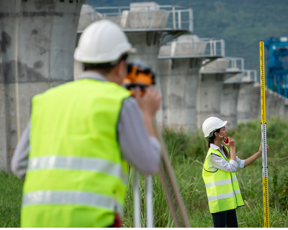
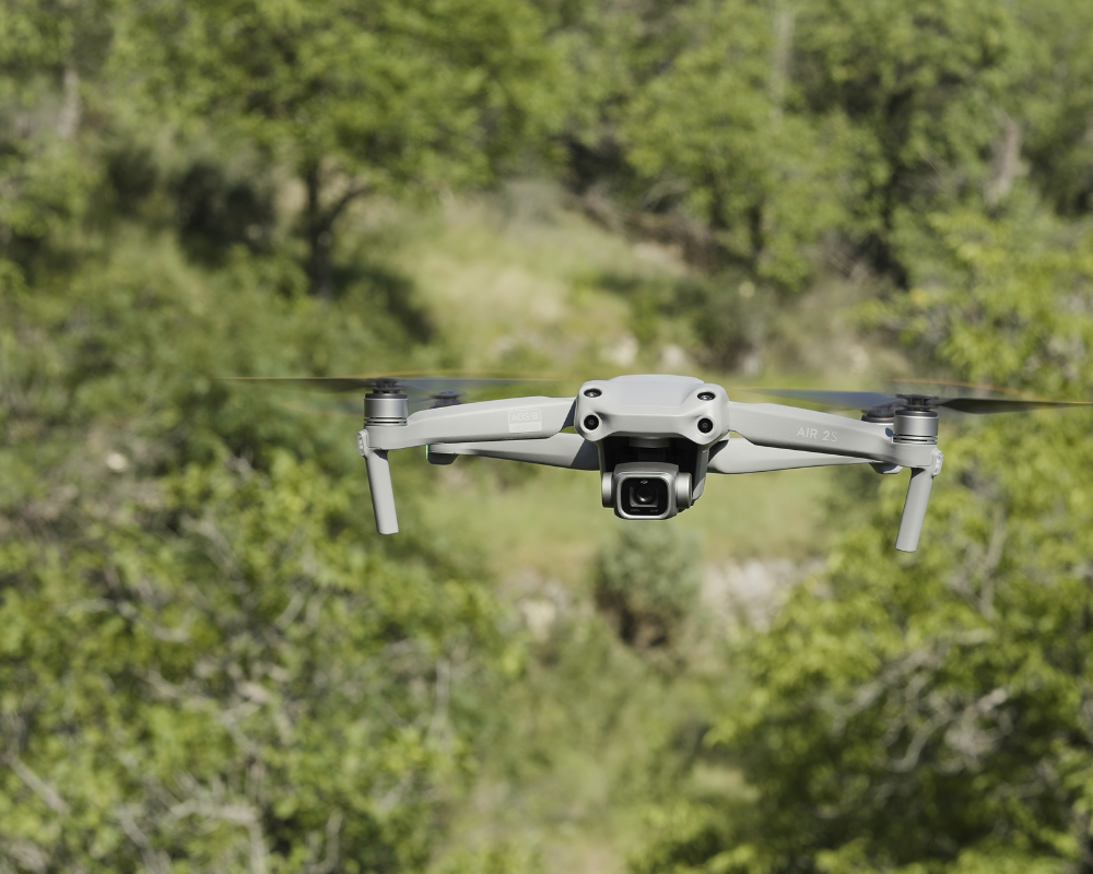
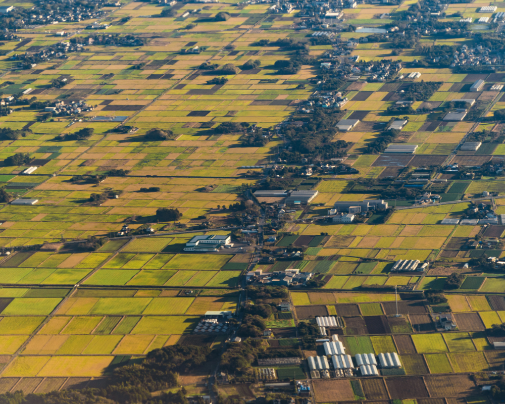
Aerial photogrammetry is a technique that involves taking photographs of the ground from an elevated position, such as an airplane or drone, to obtain three-dimensional models and flat maps.
Aerial photogrammetry has various applications, including:
Asset inspection, Construction, Geotechnics, Geology, Geophysics, Civil engineering, Topography, Cadastre, Archaeology.
Call us today for personalized advice.